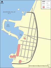
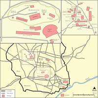
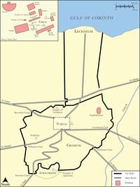
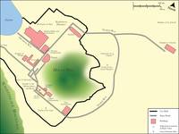
Bible Maps
Maps, plans and pictures of the Bible lands, in two parts: maps drawn in 1910, and maps drawn in 2023 to 2025.
Pick a picture to open it large, with a few words about it and the chapters to read.
Maps drawn in 1910
From Hurlbut's Bible Atlas, printed in 1910: old maps, plans and pictures.
Old Testament lands
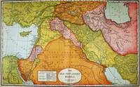 The Old Testament World
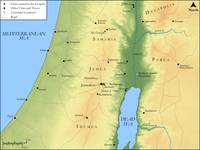
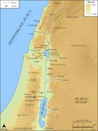
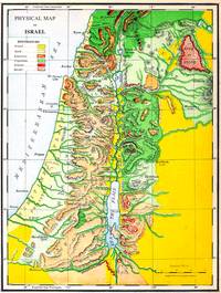 The Land of Israel: Hills, Valleys and Rivers
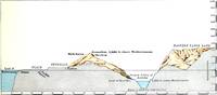 The Land Cut Through, East to West
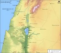
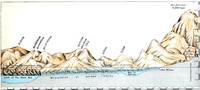 The Land Cut Through, North to South
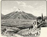 Mount Ararat
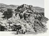 Ur of the Chaldees (Mugheir)
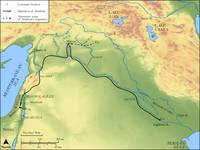
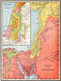 Journeys of the Patriarchs
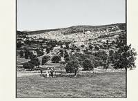 Hebron
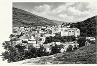 Shechem
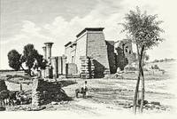 An Egyptian Temple
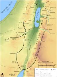
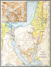 Lands of the Sojourn and Wandering
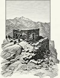 Ras es-Safsafeh (Mount Sinai?)
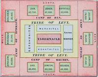 The Camp of Israel
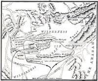 Kadesh-barnea
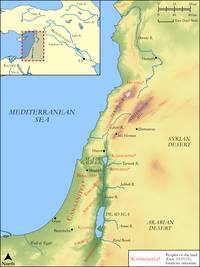
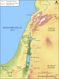
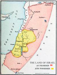 The Land as Promised
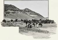 Bashan
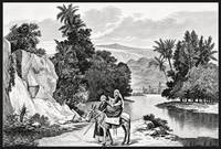 The River Jordan
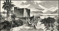 Jericho and the Jordan
 Jericho
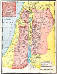 The Conquest of Canaan
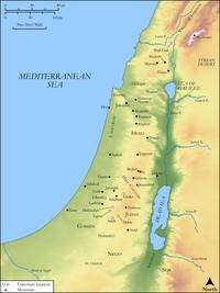
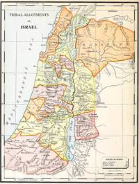 The Land Given to the Tribes
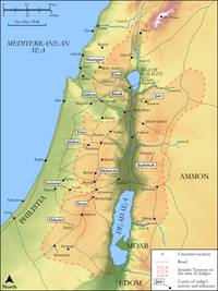
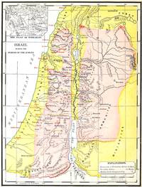 Israel in the Days of the Judges
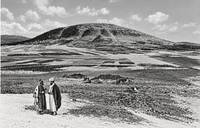 Mount Tabor
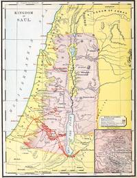 The Kingdom of Saul
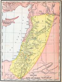 The Kingdom of David and Solomon
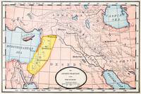 The Nations Around Israel in David's Time
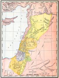 The Kingdom Divided
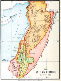 Israel and Syria at War (884-840 BC)
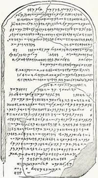 The Mesha Stone (Moabite Stone)
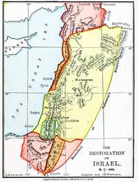 Israel Restored (800 BC)
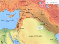
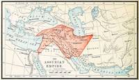 The Assyrian Empire
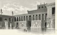 An Assyrian Palace
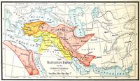 The Babylonian Empire
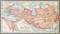 The Persian Empire
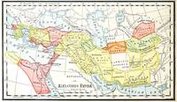 Alexander's Empire Divided
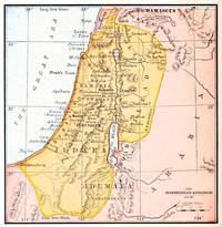 The Kingdom of the Maccabees (100 BC)
New Testament and Paul
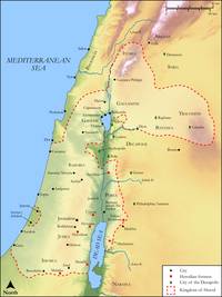
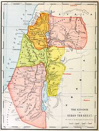 The Kingdom of Herod the Great
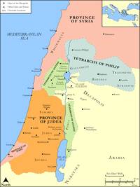
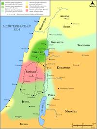
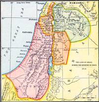 The Land in the Ministry of Jesus (AD 26)
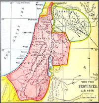 The Two Provinces (AD 44-70)
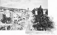 Bethlehem
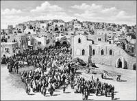 Pilgrims Entering Bethlehem
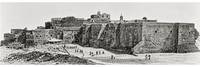 The Church of the Nativity, Bethlehem
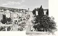 Nazareth
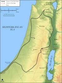
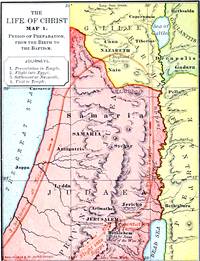 The Life of Jesus, Map 1: His Early Years
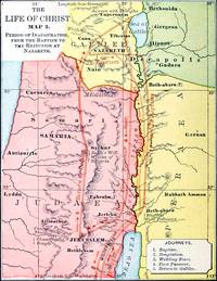 The Life of Jesus, Map 2: The Start of His Work
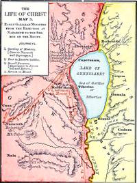 The Life of Jesus, Map 3: Early Work in Galilee
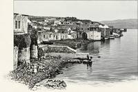 Tiberias
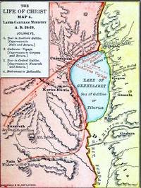 The Life of Jesus, Map 4: Later Work in Galilee
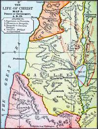 The Life of Jesus, Map 5: Journeys Outside Galilee
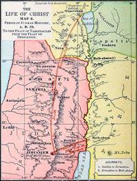 The Life of Jesus, Map 6: In Judea
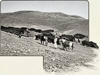 The Road Down to Jericho
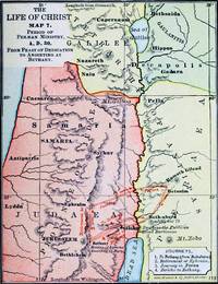 The Life of Jesus, Map 7: East of the Jordan
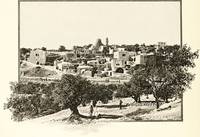 Bethany
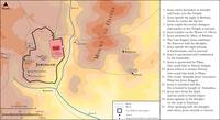
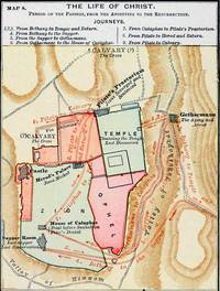 The Life of Jesus, Map 8: The Last Week in Jerusalem
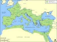
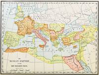 The Roman Empire
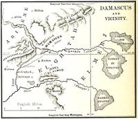 Damascus
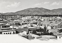 Damascus in the 1800s
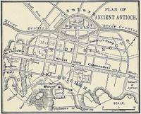 Antioch
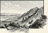 Antioch in the 1800s
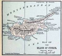 The Island of Cyprus
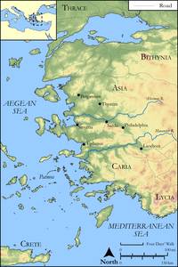
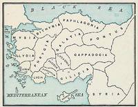 The Provinces of Asia Minor
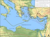
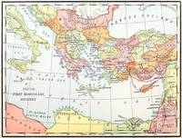 Paul's First Journey
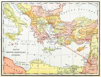 Paul's Second Journey
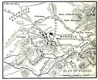 Athens
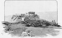 The Acropolis at Athens
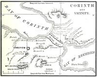 Corinth
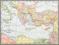 Paul's Third Journey
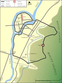
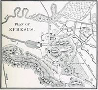 Ephesus
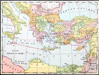 Paul's Voyage to Rome
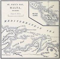 St. Paul's Bay, Malta
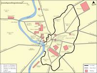
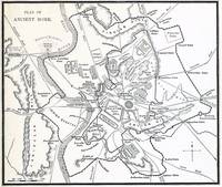 Rome
Rome
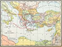 Paul's Last Journeys
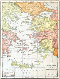 Greece and the Seven Churches
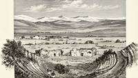 Laodicea, from Hierapolis
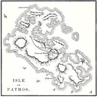 The Island of Patmos
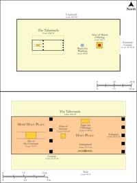
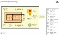
Jerusalem, the Tabernacle and the Temple
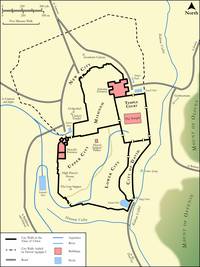
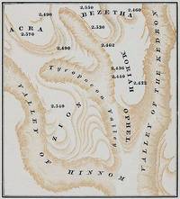 Jerusalem: Hills and Valleys
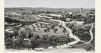 Round About Jerusalem
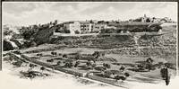 Mount Zion, as Named in the 1800s
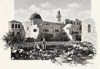 The Traditional Tomb of David
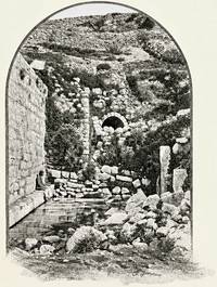 The Pool of Siloam
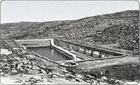 Solomon's Pools
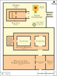
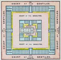 Solomon's Temple
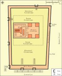
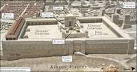
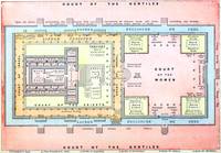 The Temple Courts in the Time of Jesus
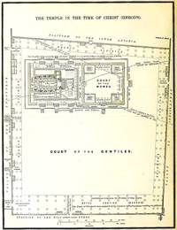 Herod's Temple
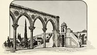 Arches in the Temple Area
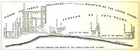 The Temple Cut Through, East to West
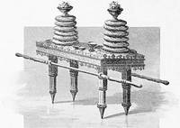 The Table of Showbread
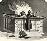 The Brazen Altar
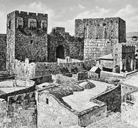 The Tower of David
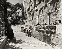 The Western Wall
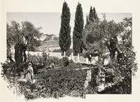 The Garden of Gethsemane
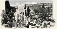 Gethsemane
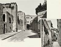 The Via Dolorosa
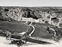 The Grotto of Jeremiah
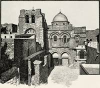 The Church of the Holy Sepulchre
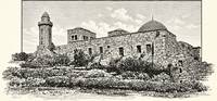 The Church of the Ascension
Charts
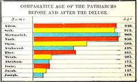
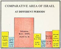
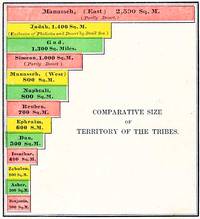
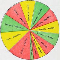
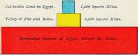
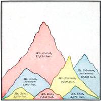
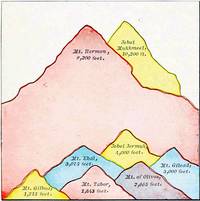
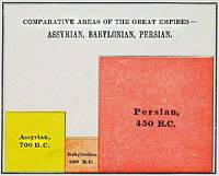
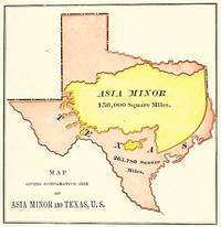
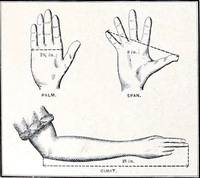
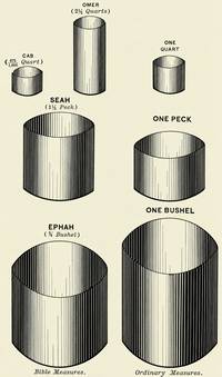
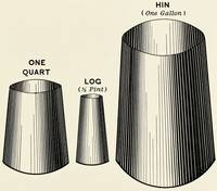
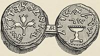
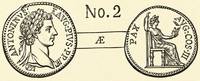
Units of Measurement and Currency
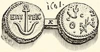
Maps drawn in 2023 to 2025
From the Biblica Open Bible Maps, drawn from 2023 to 2025: new maps and plans, made to be shared freely.
Lands and empires
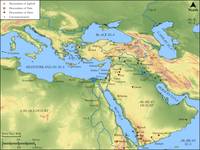
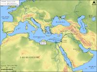
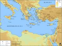
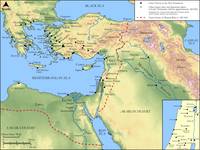
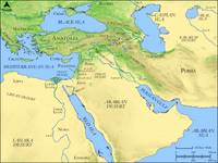 The Bible Lands: Land and Sea
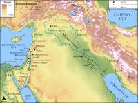
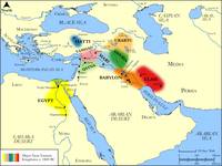 Kingdoms of the Near East, about 1800 BC
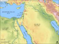
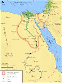 Egypt, about 1800 BC
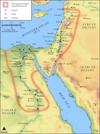 Egypt under Ramesses II
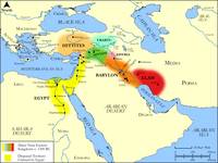 Kingdoms of the Near East, about 1300 BC
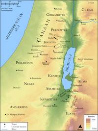
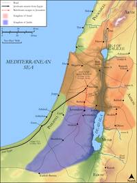
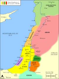 Israel and Its Neighbours, about 1000 BC
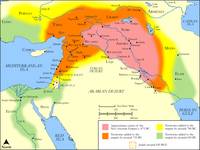 The Assyrian Empire
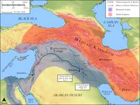
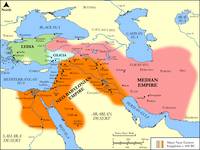 The Babylonian Empire, about 600 BC
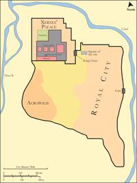
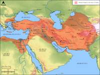 The Persian Empire in the Time of Esther
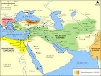 The Kingdoms of the Greeks, about 280 BC
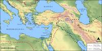 The Nations at Pentecost
 The Lands of the Apostles